Using the map, click on any  for more information about the location.
Or expand List View by clicking on the "Toggle List View" pop-out tag on the right-hand side.
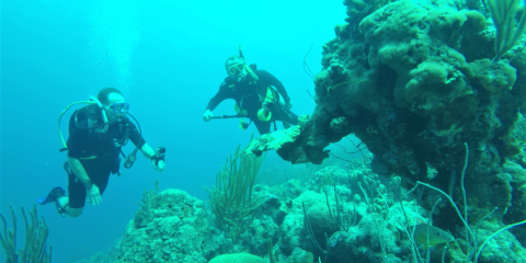
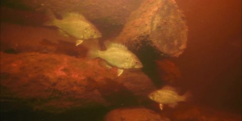
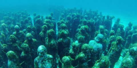
The dive site "Something Special" in Bonaire is on the north end of town and the entry is easy.
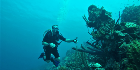
We named this dive site Shawns wall because it was his first dive below the 100' threshold.
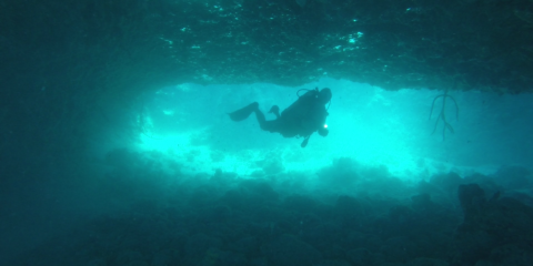
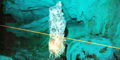
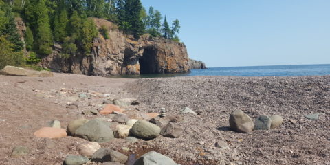
Although this dive site is called 1,000 steps, the stone stairway leading down the cliff to the water only has 67 steps.
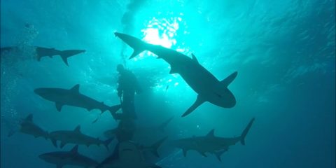
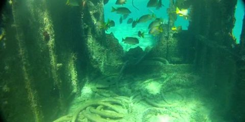
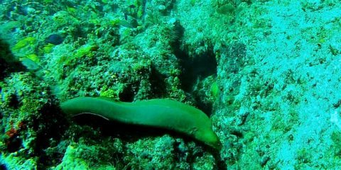
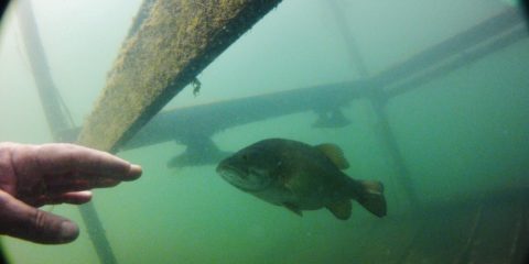
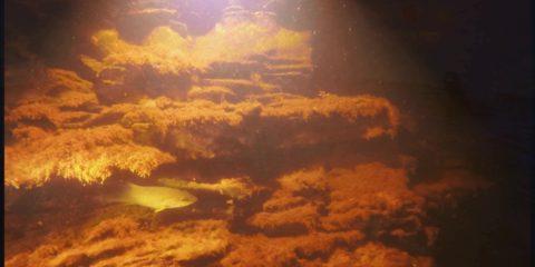
The salt pier dive site in Bonaire is a "must dive" if you are in Bonaire.
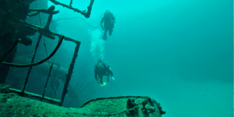
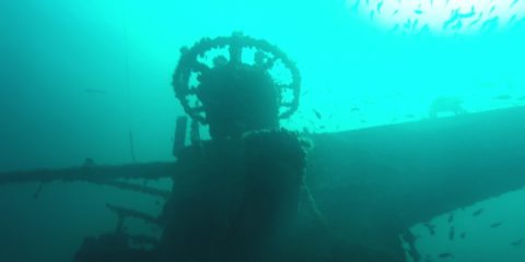
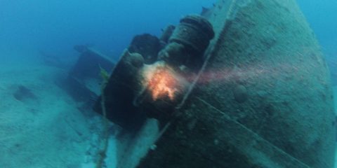
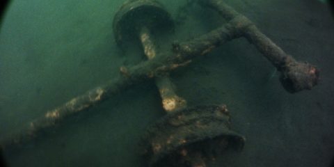
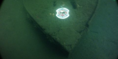
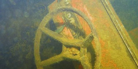
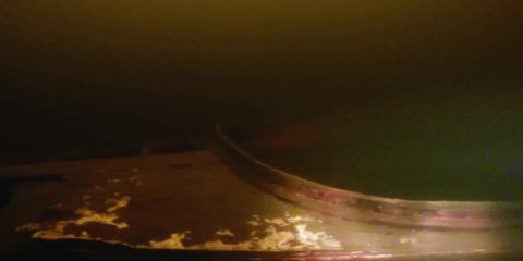
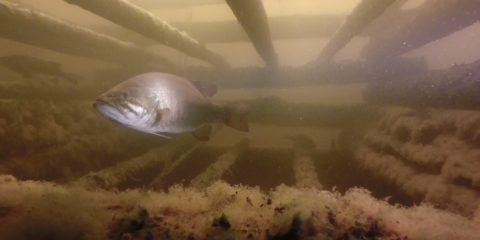
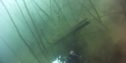
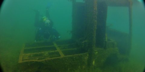
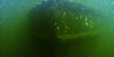
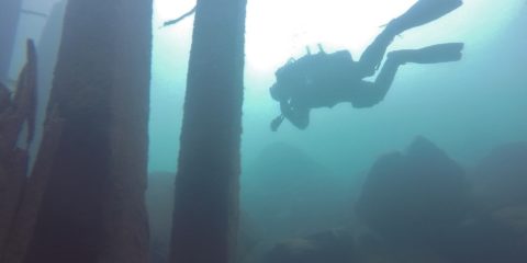
The Hilma Hooker is a 240' long steel ship that had been caught smuggling 25,000 pounds of marijuana in 1984 off the West coast of Bonaire.
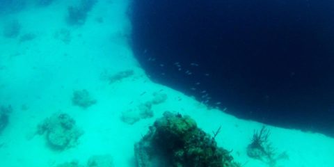
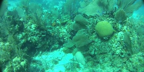
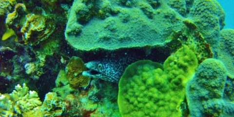
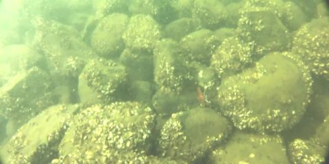
Punt Vierkant is the name of a divesite on the West coast of Bonaire.
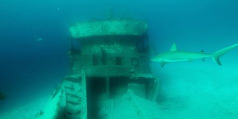
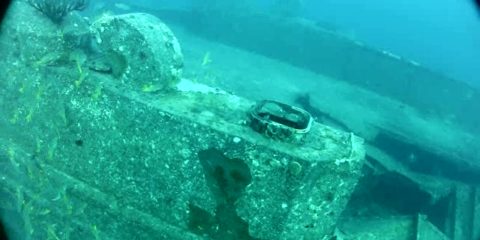
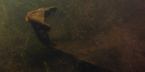
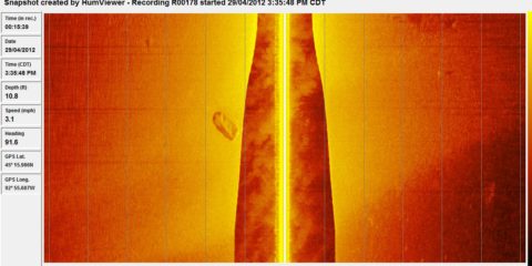
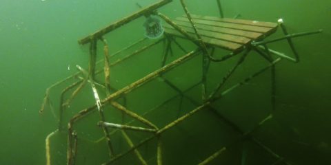
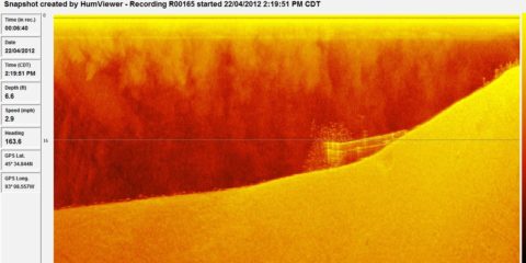
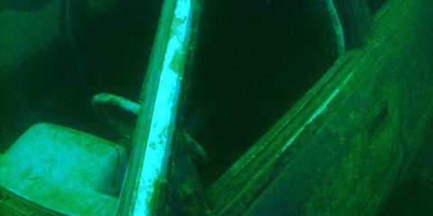
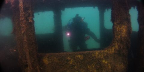
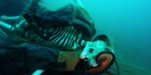
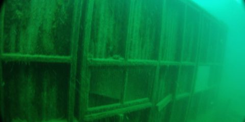
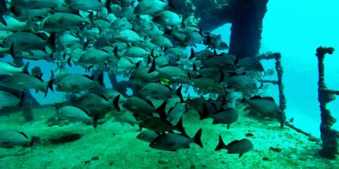
Shipwreck Dive N 24° 58.826' W 77° 32.092'
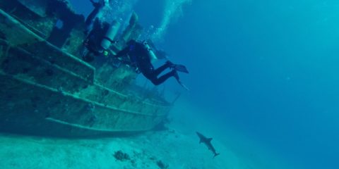
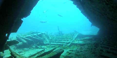
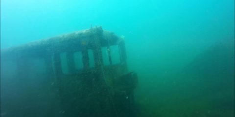
Shipwreck Dive N 24° 58.357' W 77° 31.969'
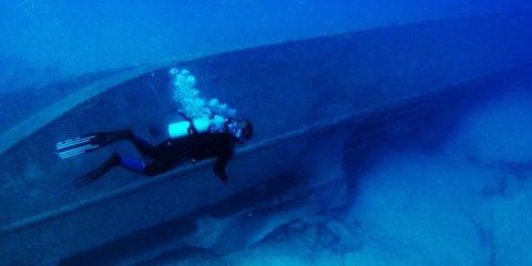
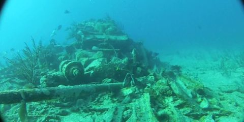
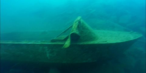
Shipwreck Dive N 25° 5.774' W 77° 19.816'
N 21° 12.083' W 86° 43.630'
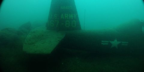
Shipwreck Dive N 21° 7.104' W 86° 43.515'
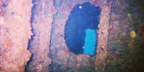
Shipwreck Dive N 20° 49.525' w 86° 47.397'
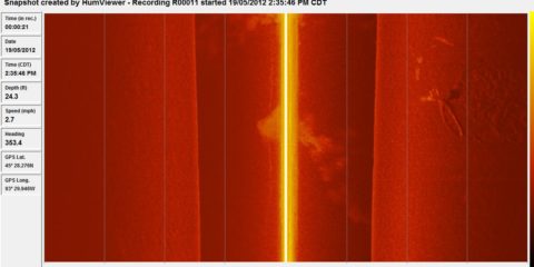
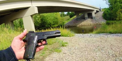
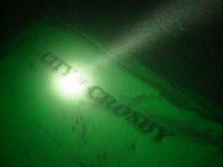
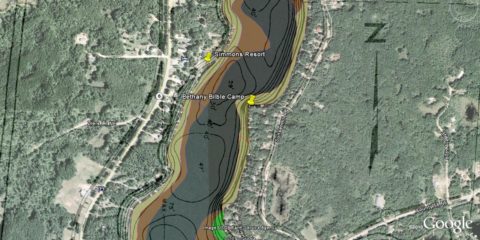
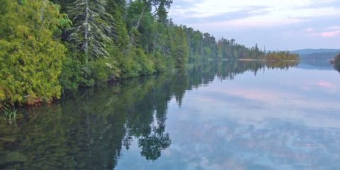
N 46° 28.664' W 94° 0.702'
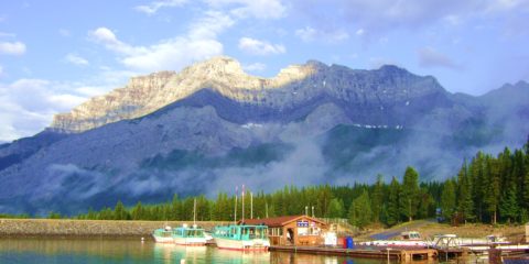
N 51° 14.778' W 115° 29.780'
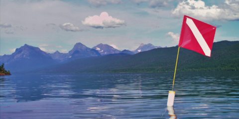
Shipwreck Dive N 49° 3.375' W 113° 54.549'
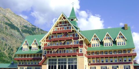
N 48° 32.843' W 113° 58.841'
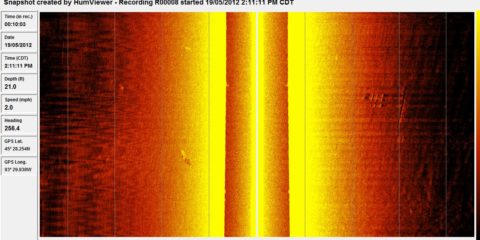
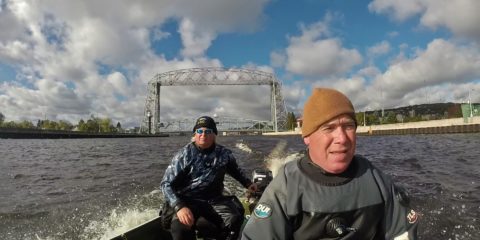
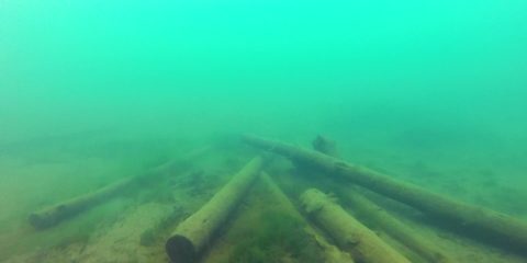
N 47° 28.736' W 92° 27.555'
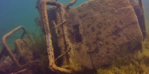
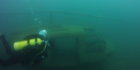
Shipwreck Dive N 47° 0.700' W 91° 40.677'
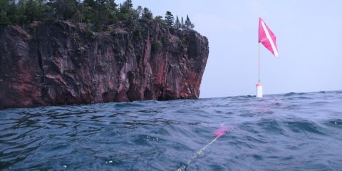
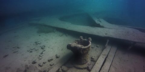
Shipwreck Dive N 47° 12.354' W 91° 21.458'
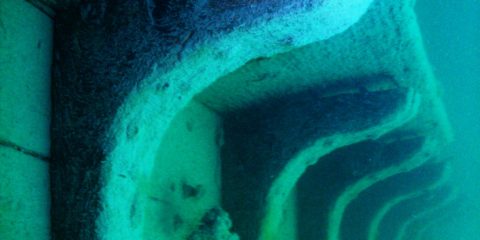
Shipwreck Dive N 47° 16.295' W 91° 16.232'
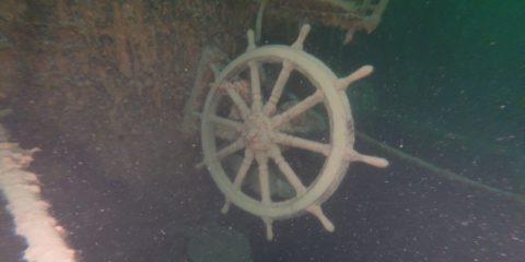
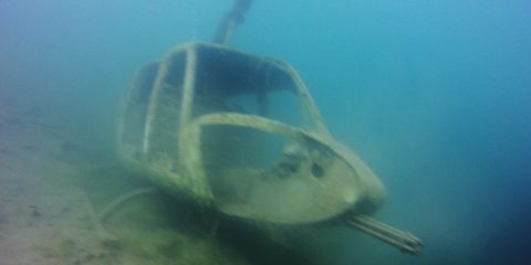
Shipwreck Dive N 48° 5.118' W 88° 46.000'
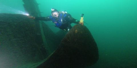
Shipwreck Dive N 47° 51.450' W 89° 19.796'
Shipwreck Dive N 47° 51.462' W 89° 19.385'
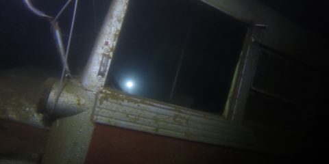
Shipwreck Dive N 48° 11.334' W 88° 25.957'
Shipwreck Dive N 48° 11.559' W 88° 30.815'
Shipwreck Dive N 48° 12.003' W 88° 29.525'
Shipwreck Dive N 48° 12.018' W 88° 29.606'
Shipwreck Dive N 47° 53.631' W 89° 13.341'