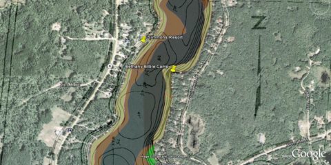
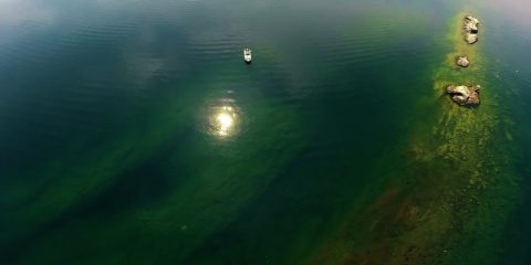
Using the map, click on any  for more information about the location.
Or expand List View by clicking on the "Toggle List View" pop-out tag on the right-hand side.

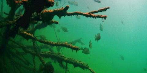
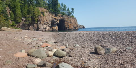
N 46° 28.664' W 94° 0.702'
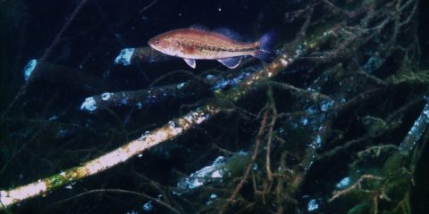
N 51° 14.778' W 115° 29.780'
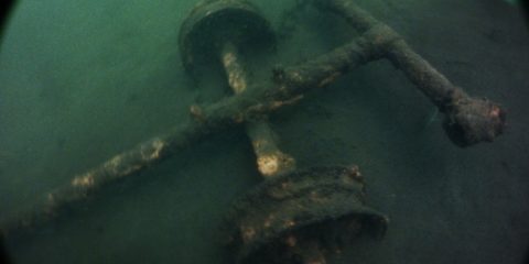
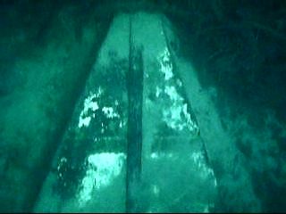
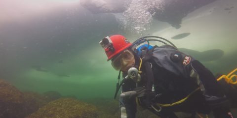
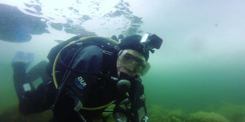
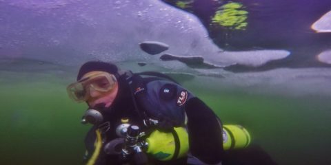
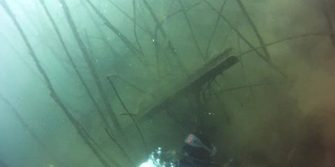
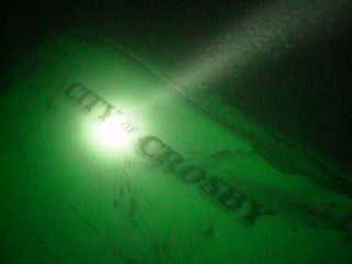
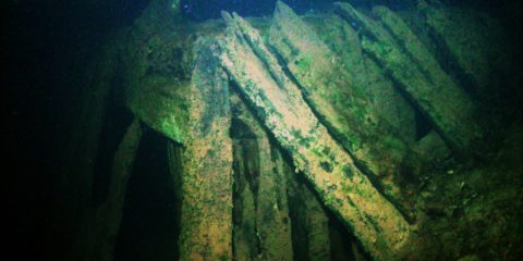
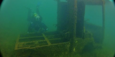
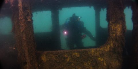
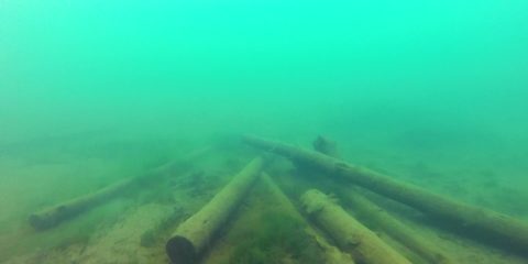
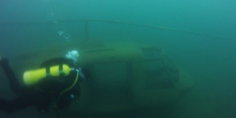
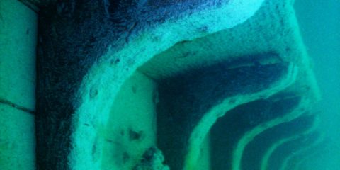
Shipwreck Dive N 49° 3.375' W 113° 54.549'
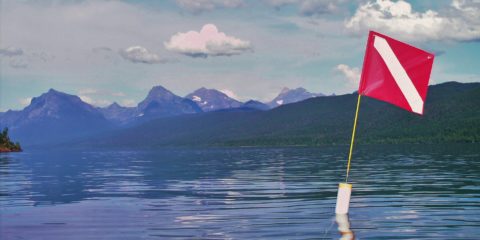
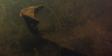
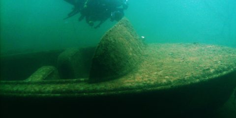
N 48° 32.843' W 113° 58.841'
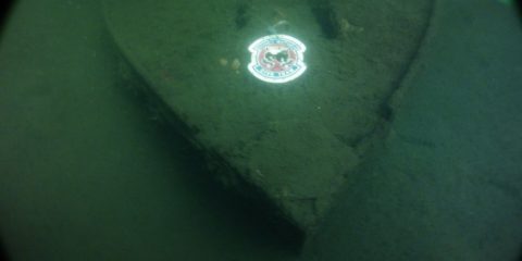
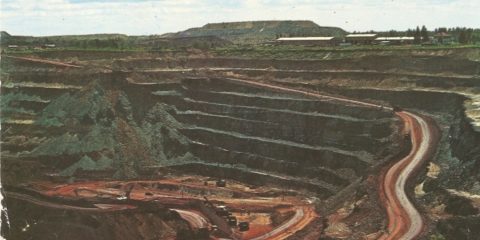
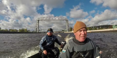
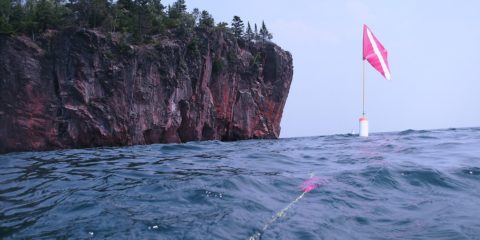
N 47° 28.736' W 92° 27.555'
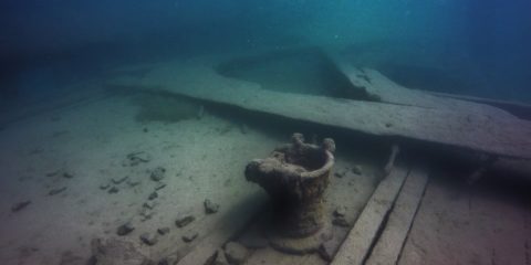
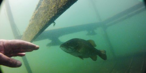
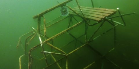
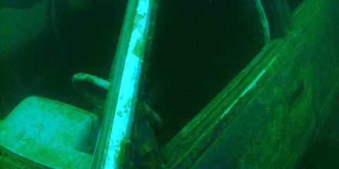
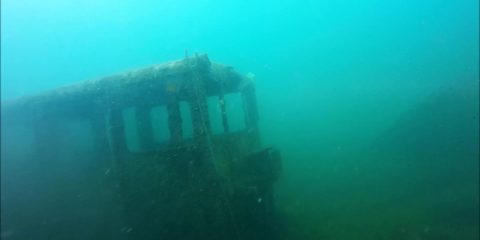
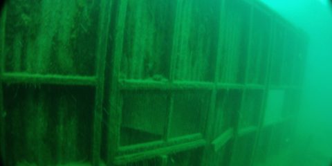
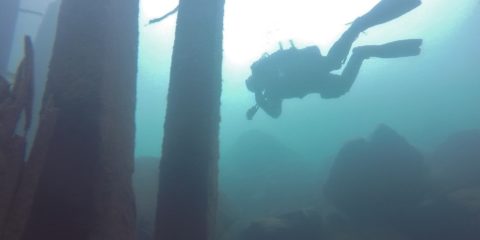
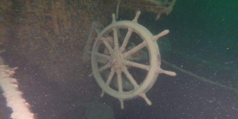
Shipwreck Dive N 47° 0.700' W 91° 40.677'
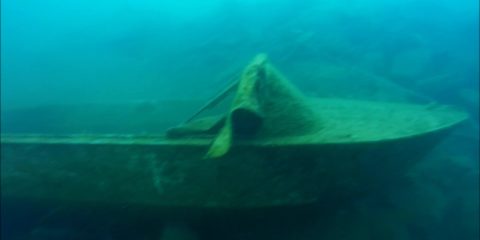
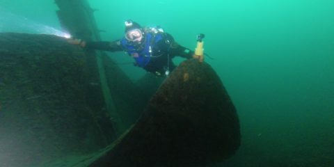
Shipwreck Dive N 47° 12.354' W 91° 21.458'
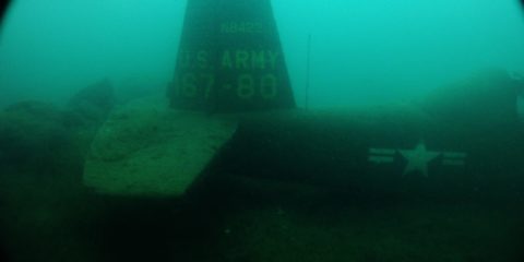
Shipwreck Dive N 47° 16.295' W 91° 16.232'
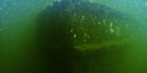
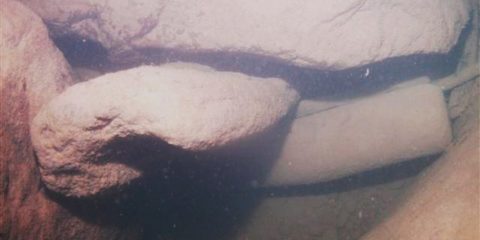
Shipwreck Dive N 48° 5.118' W 88° 46.000'
Shipwreck Dive N 47° 51.450' W 89° 19.796'
Shipwreck Dive N 47° 51.462' W 89° 19.385'
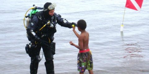
Shipwreck Dive N 48° 11.334' W 88° 25.957'
Shipwreck Dive N 48° 11.559' W 88° 30.815'
Shipwreck Dive N 48° 12.003' W 88° 29.525'
Shipwreck Dive N 48° 12.018' W 88° 29.606'
Shipwreck Dive N 47° 53.631' W 89° 13.341'